UN
58 Hatherley Road
£ 218,000
Description
We don't have a Description for this property.
- Bedrooms
- 2
- Bathrooms
- 0
- Sqft
- 527.00


Leaflet © OpenStreetMap contributors
The heatmap indicates the level of crime in the area. The color of the heatmap indicates the crime severity and recency.
Metrics Year-on-Year
- Average area value
- 456,667.00 £Decreased by 3.43 %
- Est sale value
- 443,207.00 £Increased by 89.41 %
- Average area rental value
- 2,099.00 £/moIncreased by 30.13 %
- Est letting value
- 1,581.00 £/moIncreased by 200.00 %
- Est rental Yield
- 5.52 %Increased by 34.96 %
- Crime Rate
- 5.00 %Unchanged by 0.00 %
from 472,875.00 £
from 233,988.00 £
from 1,613.00 £/mo
from 527.00 £/mo
from 4.09 %
from 5.00 %
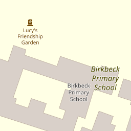
Nearby Schools
| Name | Type | Ofsted | Distance |
|---|---|---|---|
| Birkbeck Primary School | Community School | Good | 0.17 KM |
| West Lodge School | Other Independent School | 0.37 KM | |
| Chislehurst And Sidcup Grammar School | Academy Converter | Good | 0.62 KM |
| Benedict House Preparatory School | Other Independent School | Good | 0.64 KM |
| Holy Trinity Lamorbey Church Of England School | Academy Converter | Good | 0.69 KM |
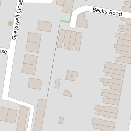
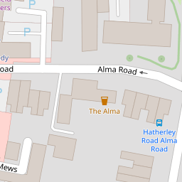
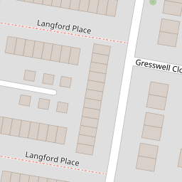
Images
Nearby Streets
| Name | Average Price | Average Sqft | Distance |
|---|---|---|---|
| Aston Close | £ 0 | 0 | 0.00 KM |
| Sandhurst Road | £ 0 | 0 | 0.00 KM |
| Kingsmead Close | £ 0 | 0 | 0.00 KM |
| Grange Close | £ 320,000 | 0 | 0.00 KM |
| Victoria Road | £ 0 | 0 | 0.00 KM |
Nearby Transport
| Name | NLC | TLC | Distance |
|---|---|---|---|
| Sidcup | 5125 | SID | 0.30 KM |
| Albany Park | 5132 | AYP | 2.40 KM |
| Welling | 5128 | WLI | 3.75 KM |
| New Eltham | 5119 | NEH | 3.83 KM |
| St Mary Cray | 5073 | SMY | 4.07 KM |
Nearby Listings
| Address | Price | Type | Score | Distance |
|---|---|---|---|---|
| Hatherley Road, Sidcup, DA14 4AW | £ 299,995 | BUY | 6 / 10 | 0.02 KM |
| Hatherley Road, Sidcup, Kent, DA14 | £ 700,000 | BUY | 7 / 10 | 0.06 KM |
| Hatherley Road, Sidcup, Kent, DA14 | £ 270,000 | BUY | 6 / 10 | 0.06 KM |
| Alma Road, Sidcup, DA14 4ED | £ 1,850,000 | BUY | 5 / 10 | 0.09 KM |
| Alma Road, Sidcup, DA14 4ED | £ 900,000 | BUY | 7 / 10 | 0.10 KM |
Nearby Properties
| Address | Price | Distance |
|---|---|---|
| 56c Hatherley Road | £ 113,000 | 0.00 KM |
| 82 Hatherley Road | £ 330,000 | 0.00 KM |
| 74c Hatherley Road | £ 157,000 | 0.00 KM |
| 78a Hatherley Road | £ 125,000 | 0.00 KM |
| 74a Hatherley Road | £ 46,000 | 0.00 KM |